Urangan Pier, constructed between 1913 and 1917, is a popular fishing destination. Its 1107-meter length allows to target many different fish species.
Urangan Pier is located in Queensland, AU, Australia.
If you're planning to go fishing at Urangan Pier, it's essential to be aware of the local
fishing regulations in the AU area. These regulations are in place to protect the environment and ensure a sustainable fishing experience.
Here, you can find a detailed fishing map highlighting local fishing spots around Urangan Pier,
AU,
Australia.
Additionally, a weather and fishing forecast will give you an idea of ideal fishing conditions based on temperature, tides, moon phases, fish activity, and more.
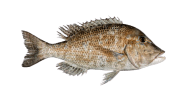
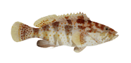
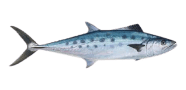
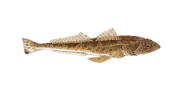
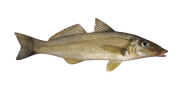
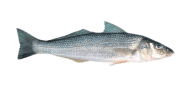
When fishing in AU waters, including Urangan Pier, anglers often come across species like
Areolate grouper,
Atlantic bluefin tuna,
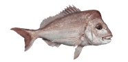
Australasian snapper,
Australian bass,
Australian lungfish, as well as many others that inhabit local lakes and rivers.
Fishing regulations in AU may change each season. To stay up to date, check the current rules before you go. They define catch limits, maximum allowable fish sizes, and other important rules.
Urangan Pier fishing map
Discover the Urangan Pier fishing map to explore key locations and best fishing spots near Queensland, including the area around 25°16'40.6"S 152°54'28.5"E.